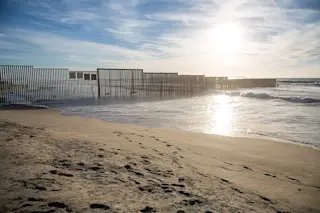
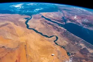
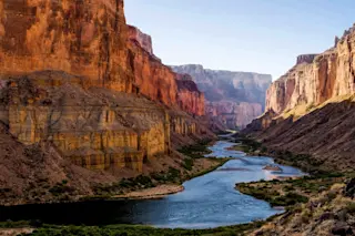
The U.S.-Mexico border near San Diego, California. Wikimedia Commons. The world's current political climate is one where we are very aware of borders. They divide what we humans decide is one country, one state, one region from another. They can be very clearly defined where everyone would notice the boundary and in other cases, they are merely defined by imaginary lines we've projected on our planet. Much of the time, these boundaries are geologic -- that is, they use features created by geologic processes to demarcate one nation from another. However, when you look at the geology of the planet, it doesn't care about nations and these geologic barriers are never forever over geologic timescales. What got me thinking about geologic boundaries was looking at an area with low stakes: the state line between Arkansas and Mississippi. It is the mighty Mississippi River that is supposedly the boundary between these ...
The Geologic Nature of Our Borders
Explore the dynamic nature of the U.S.-Mexico border, where the Rio Grande's shifting course affects boundaries as geologic changes unfold.
More on Discover
Stay Curious
SubscribeTo The Magazine
Save up to 40% off the cover price when you subscribe to Discover magazine.
Subscribe

