When a magnitude 8.8 earthquake ravaged Chile in February, the Pacific Tsunami Warning Center in Hawaii put most of the Pacific Rim on alert. With no way to know how big the resulting ocean wave might become, the center’s geophysicists had no choice but to prepare for the worst.
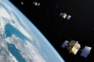
Aiming to do better, Tony Song of NASA devised a much more precise tsunami prediction system based on GPS readings; he tested it successfully for the first time this past year. Song’s technique predicts the exact scale of a tsunami by tracking ground motions to estimate how much water has been displaced on the ocean floor—and, by extension, how much energy is feeding the wave.
When the Chile earthquake struck, Song’s system showed that an underwater fault had slipped almost 10 feet, potentially enough to produce a tsunami several yards high. But then Song crunched the numbers and saw that the ...


