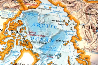
I've been holding off writing about this until it was official, and now it is: the area of the arctic covered by sea ice has reached a record low.
[Click to embiggen.] "Sea ice extent" is (more or less) a measure of the amount of ice covering the sea surface. It's measured using satellite data; the area is divided into many bins, and sea ice extent is calculated by adding up all the bins with more than 15% ice in them. Every year the ice starts to grow in the autumn and melts in the summer, so you get a sine-wave curve of extent every year. Satellite observations began in 1979. In the graph above, the dark line is the average summer extent for the period 1979 - 2000. The gray area around it is the measurement uncertainty (2σ if you want to be exact). The dashed green line is ...


