

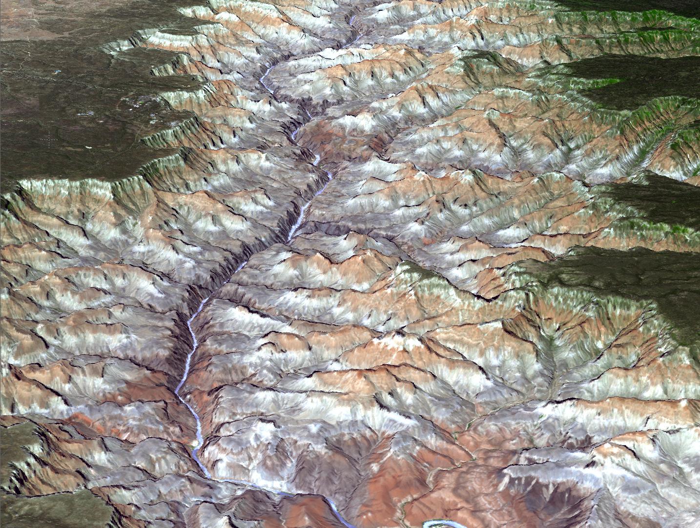
This is pretty nifty: a new elevation map of the Earth has just been released by NASA and Japan. It's a "significantly improved" version of one that came out in 2009. It uses Japan's ASTER, the Advanced Spaceborne Thermal Emission and Reflection Radiometer, an instrument on board NASA's Terra satellite. Terra is an Earth-observer, with detectors on board used to study various properties of our planet. ASTER looks both straight down and slightly behind the satellite's track on the Earth is it passes. Over time stereo image pairs are created, and these can be used to create very high-resolution elevation maps (called topographic maps) of the surface of the Earth. The new images are higher-res than before, and cover the Earth better to the tune of 260,000 more images. As an example of what can be done, they used it to make this map of the Grand Canyon:
[Click to ...


