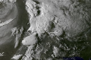
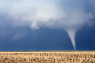
Towering thunderstorms are visible over Arkansas and surrounding states in this GOES-13 weather satellite image. It was acquired on Monday, April 27, 2014 about an hour before tornado reports from the towns of Mayflower and Vilonia began coming in. (Source: NOAA) Updated below with new details on yesterday's tornadoes, 8 a.m. | Damage surveys are still underway as I write this on Monday night, but the National Weather Service reports that the tornado that devastated parts of Mayflower and Vilonia, Arkansas, on Sunday was at least an EF-3. On the Enhanced Fujita Scale, that indicates winds speeds of between 135 and 165 miles per hour. Here's an excerpt from the NWS public information statement on the tornado:
THE TORNADO STARTED JUST INSIDE THE PULASKI COUNTY LINE... 4 MILES NORTH OF LAKE NORRELL. THERE IS AN APPARENT CONTINUOUS DAMAGE PATH FOR AT LEAST 29.2 MILES...NEARLY TO VILONIA...WHERE THE SURVEY WILL RESUME ...


