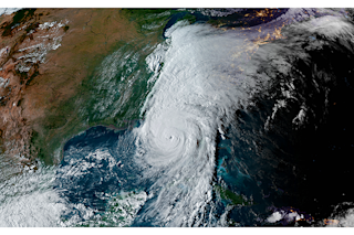
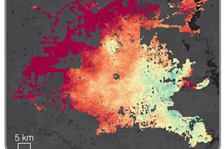
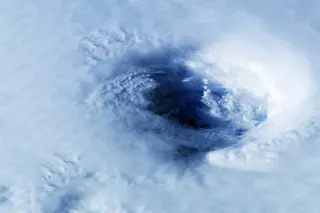
Hurricane Helene has been rampaging through the southeastern United States today, causing catastrophic flooding and killing at least 40 people in four states. The death toll is likely to rise.
The storm slammed ashore as a Category 4 hurricane on Thursday evening with maximum sustained winds of 140 mph. It also pushed up inundating storm surges. As I'm writing this on Friday afternoon, it has been downgraded to a tropical storm — but it still poses deadly dangers.
"Historic, catastrophic and life- threatening flash and urban flooding, including numerous significant landslides, will continue across portions of the Southern Appalachians through this evening," according to the National Hurricane Center.
Including Helene, the United States has now experienced a record eight Category 4 or Category 5 Atlantic hurricane landfalls in the past eight years (2017-2024). "That’s as many Cat 4 and 5 landfalls as occurred in the prior 57 years," writes meteorologist ...


