

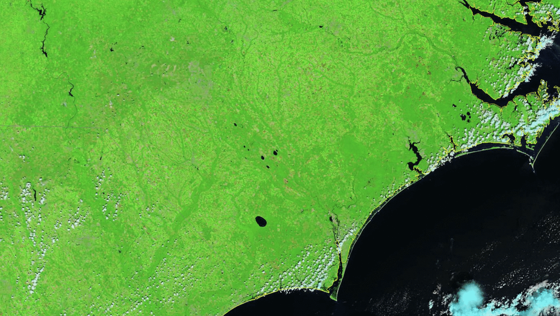
An animation of before and after images acquired by NASA's Terra satellite shows flooding in the wake of Florence across southeastern North Carolina and northeastern South Carolina. (Source: Modified from CIMSS Satellite Blog) You've probably seen imagery shot in the Carolinas showing the devastating flooding that Hurricane Florence left its wake. Now, check out what that flooding looks like from space — in the before-and-after animation above of false-color satellite images. The images were acquired by NASA's bus-sized Terra satellite, which circles Earth in a polar orbit 483 above the surface. The before image was captured on August 26th; the after image on September 18th. Flooded waterways in the post-storm image appear in dark blue. As I'm writing this on Sept. 19, at least 16 rivers remain at a major flood stage. And others have yet to crest.
Radar loops covering a 104-hour period show Florence's slow march through the ...


