

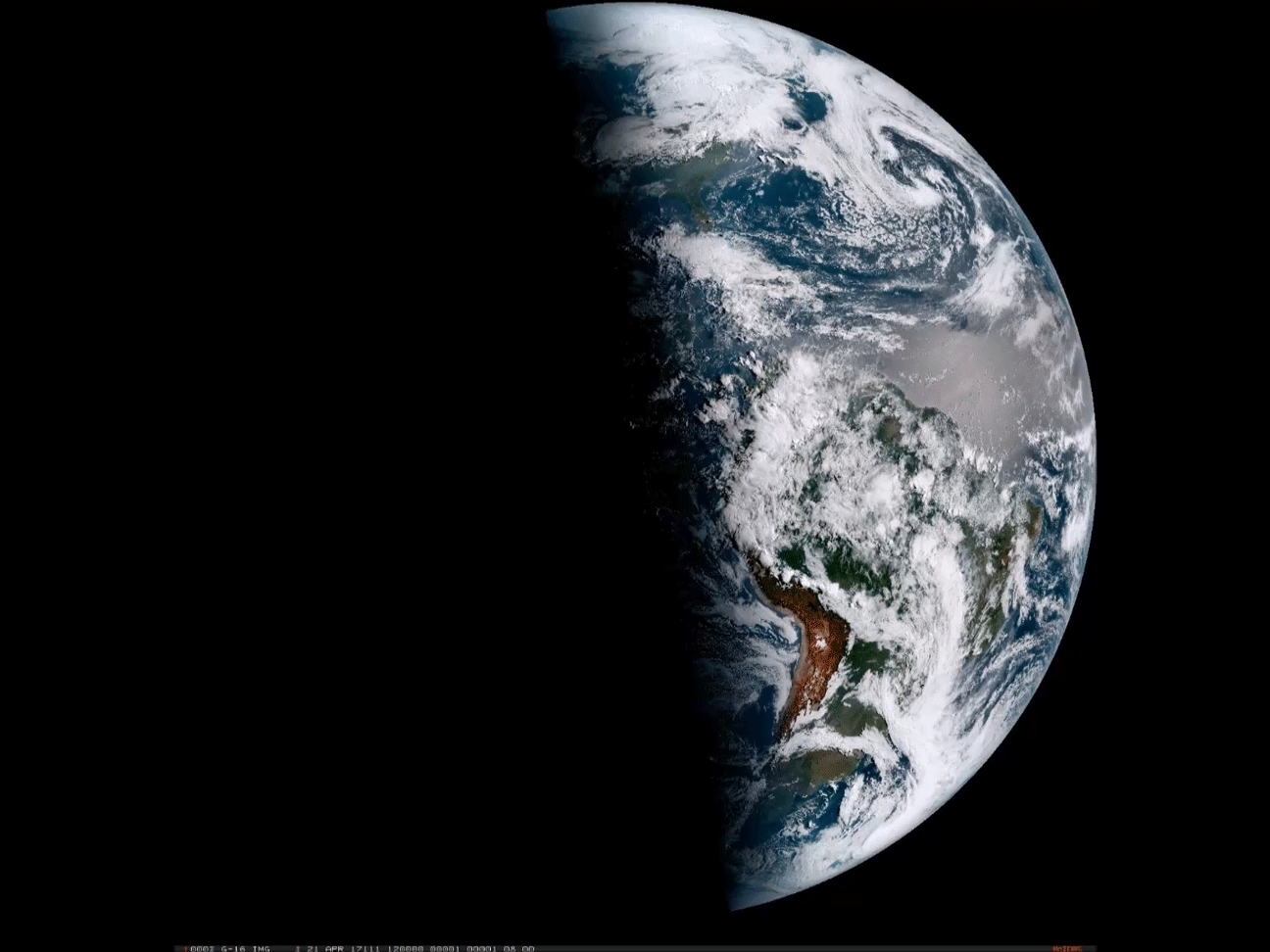
An animation of images from the new GOES-16 weather satellite shows the progression of a day for 12 hours starting on April 21, 2017. (Source: CIRA/RAMMB/NOAA) With Earth Day just behind us, I've been inspired to start a new series here at ImaGeo: semi-regular posts showcasing the truly dazzling imagery now being produced by the GOES-16 weather satellite. It's now on its shakedown cruise, so to speak. Scientists are still testing everything out and evaluating the data being returned by the satellite. So it is not yet officially operational. Even so, just have a look at the animation above, and the others below, and I think you'll agree that GOES-16 seems to be experiencing smooth sailing so far. (Although I'm guessing that the engineers working behind the scenes might take issue with that!) The animation up top shows the full disk of the Western Hemisphere, starting at 8 a.m. EDT. ...
Here's the first installment in a new series at ImaGeo: dazzling imagery from the new GOES-16 weather satellite
Discover the GOES-16 weather satellite's stunning high definition imagery that enhances severe weather forecasting dramatically.
More on Discover


Stay Curious
SubscribeTo The Magazine
Save up to 40% off the cover price when you subscribe to Discover magazine.
Subscribe