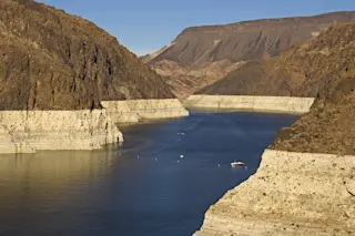
https://youtu.be/9Ypiva5fP8M The animation above shows how sea surface temperatures in the Pacific Ocean varied from average week by week, starting in February 2018 and continuing through the first week of January 2019. At the start, cooler than normal temperatures prevail along the equator. As it continues, the surface waters warm, as indicated by the change from blue to red colors. The Pacific Ocean along the equator is practically shouting to the atmosphere, "Hey, we got an El Niño goin' on over here, what's your problem?" But the atmosphere just doesn't seem to want to listen. Bottom line: We're still waiting for El Niño. The climatic phenomenon is significant because it can influence weather around the globe, favoring some damaging impacts but also some welcome ones too. For example, during El Niño winters, an extended, more powerful jet stream tends to steer storms into the southern half of California and across parts of the U.S. Southwest. That extra moisture sure would be nice right about now. That's because the Four Corners region, where Arizona, New Mexico, Colorado and Utah all come together, is suffering from a horrible, persistent drought. But unfortunately, no dice — or, more precisely, no rain and snow — at least for now. Here's the deal: An El Niño gets going when the sea surface along the equator in the Pacific Ocean warms up beyond a certain threshold. The atmosphere gets in the act too. The equatorial trade winds that normally blow from east to west (from South America toward Indonesia) weaken and even reverse. This slackening helps warm subsurface water migrate eastward and rise toward the surface near South America, helping to reinforce the warming of equatorial Pacific surface waters. As the warm water builds, thunderstorm activity — meteorologists call it "convection" — shifts from around the Indonesian archipelago to the east. When all these things come together in just the right way, you get an El Niño. Well, the equatorial waters of the Pacific are doing their part. But the atmosphere is refusing to budge. Or as the Climate Prediction Center puts it in its monthly analysis, released today, the atmosphere has "not yet shown a clear coupling to the above-average ocean temperatures." So instead of El Niño, we have El Limbo. In its analysis, the prediction center says the atmosphere should couple with the ocean soon, with a 65 percent chance of El Niño continuing through the Northern Hemisphere spring. From the report:
The late winter and early spring tend to be the most favorable months for coupling, so forecasters still believe weak El Niño conditions will emerge shortly. However, given the timing and that a weak event is favored, significant global impacts are not anticipated during the remainder of winter, even if conditions were to form.
So folks in the U.S. Four Corners region will have to hope for drought relief coming from other climatic factors. Fingers crossed...


