

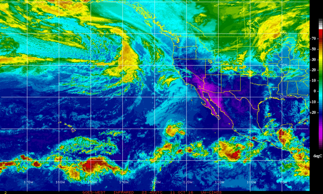
An animation of infrared imagery from the GOES-West satellite shows the Pacific Northwest being hit with a potent frontal system. An even more powerful storm, dubbed the "Ides of October Storm," is gathering strength out to sea behind it and is forecast to hit on Saturday night. (Source: Cooperative Institute for Meteorological Satellite Studies.) Even as a vigorous Pacific frontal system is moving through western Washington today, the remnants of Pacific Typhoon Songda are pulling together into an even stronger storm and charging headlong toward the region. It has been dubbed the "Ides of October Storm." And should it evolve on Saturday as forecast, Western Washington will "likely have its most significant windstorm since the Hanukkah Eve storm of December 2006, which left many people without power for several days," according to the National Weather Service. To be more precise, that Hanukkah eve storm stripped 1.8 million people of power ...
The 'Ides of October Storm' is gathering strength and charging toward the Pacific Northwest
Prepare for the Ides of October Storm, bringing severe winds and rainfall to Western Washington this weekend. Stay safe!
More on Discover


Stay Curious
SubscribeTo The Magazine
Save up to 40% off the cover price when you subscribe to Discover magazine.
Subscribe