

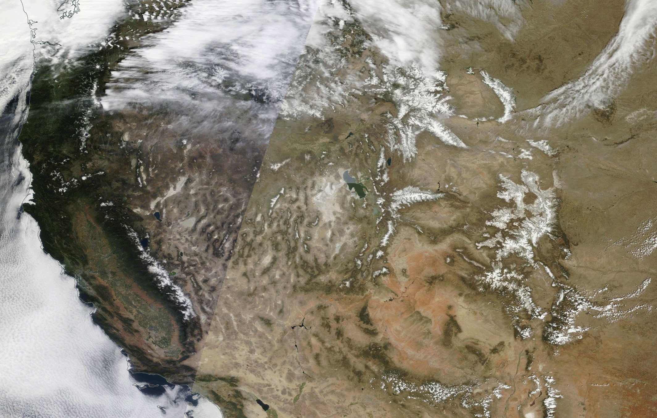
An animation of images acquired by NASA's Terra satellite, one on April 27, 2013, and the other from April 29 of this year, when snowpack was less extensive. (Source: NASA Worldview) The quotation in the headline for this post is the assessment of David Garen, a hydrologist with the Natural Resources Conservation Service. It's a slight exaggeration, as the animation above shows. But not by much. As Garen puts it in a press release issued yesterday by his agency:
Across most of the West, snowpack isn’t just low – it’s gone. With some exceptions, this year’s snowmelt streamflow has already occurred . . . We still have some snowpack in northern Colorado, western Montana and southern Wyoming. In addition, snowmelt from Canada will flow into the Columbia River
Source: NCDC Snowpack at many monitoring stations is at or near the lowest on record, according to Garen. The culprit: strikingly warm ...


