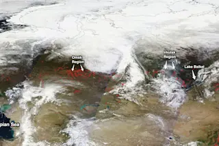
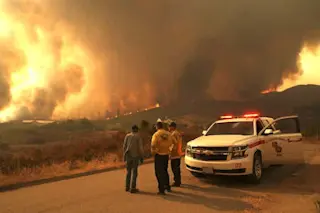
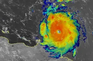
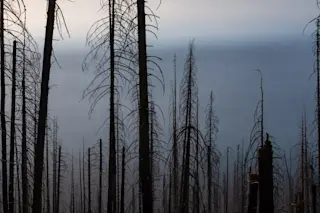
The images that comprise this mosaic showing a large portion of Russia were captured on Monday, April 5 by NASA's Terra satellite. Red dots mark areas where a sensor on the spacecraft detected fire. (Source: NASA) With geopolitical fires continuing to smolder between Russia and Ukraine, actual wildfires have erupted across a vast swath of territory to the east. You can spot the Russian wildfires in the mosaic of satellite images above showing a large portion of the country as it looks from space today. Each red dot marks a spot on the ground where a sensor on NASA's Terra satellite has detected fire. More than 100 fires are burning today on 140,471 hectares, which is equal to 542 square miles, according to The Voice of Russia Radio. That's half again as large as the City of Los Angeles. Fires are burning in the Irkutsk region, the Omsk region, near ...
Russian Wildfires Blaze on an Area Larger than Los Angeles
Explore the alarming Russian wildfires detected by NASA's Terra satellite, showing extensive damage across various regions.
More on Discover
Stay Curious
SubscribeTo The Magazine
Save up to 40% off the cover price when you subscribe to Discover magazine.
Subscribe

