

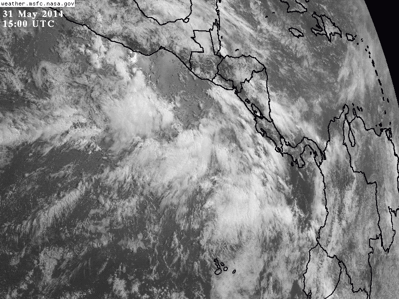
An area of disturbed weather in the Pacific Ocean, as seen on Saturday in visible light and the infrared by a GOES weather satellite. (Source: NASA MSFC Earth Science Office) The animation above shows a broad area of disturbed weather a few hundred miles southwest of Mexico that stands a good chance over the next five days of becoming a tropical cyclone. From the National Hurricane Center's Tropical Weather Outlook issued early today:
A broad area of low pressure located a few hundred miles south-southeast of the Gulf of Tehuantepec has changed littl since yesterday. Environmental conditions are expected to become more conducive for the development of this disturbance during the next few days as it drifts generally northward. Regardless of tropical cyclone formation, this system has the potential to bring locally heavy rains to portions of western Central America and southeastern Mexico this coming week. * Formation chance through ...


