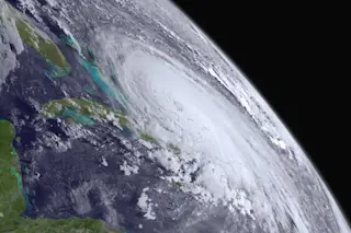
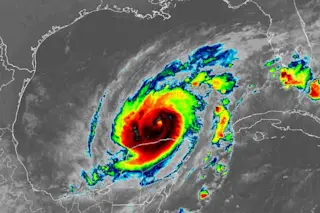
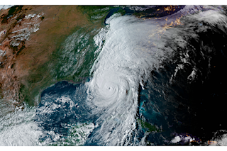
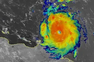
Hurricane Joaquin as seen by the GOES West satellite on October 1, 2015. (Source: NOAA) With 130 mile per hour winds, Hurricane Joaquin has now spun up into a dangerous Category 4 storm — and some additional strengthening is possible, according to this evening's forecast discussion page of the National Hurricane Center. But despite that unsettling news, the weather models have increasingly nudged Joaquin's forecast track to the east. Although it is still too soon to say with certainty that the storm will stay at sea, that is looking increasingly likely.
Infrared data from the satellites of EUMETSAT and NOAA have been laid over a computer-generated model of the Earth, containing NASA's Blue Marble Next Generation imagery, to create this full-disk image of the Earth. Hurricane Joaquin is visible near the center of the image. (Copyright: 2015 EUMETSAT) Even if Joaquin stays offshore, it is now conspiring with a ridge ...


