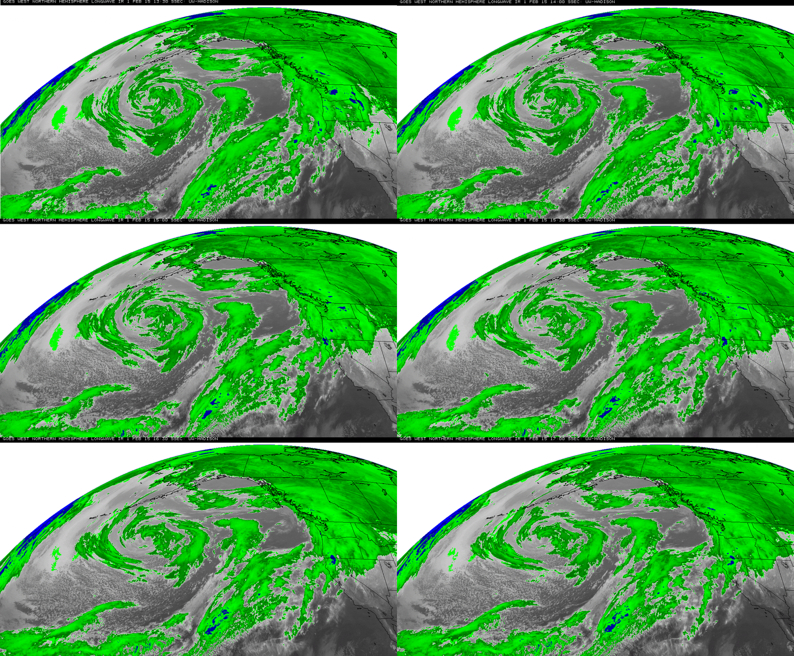
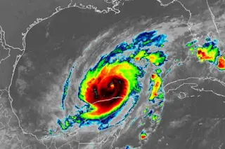
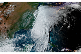
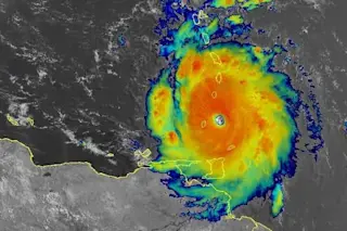
An animation consisting of false-color GOES-West satellite images of the huge storm in the northeastern Pacific Ocean. (Source: Space Science & Engineering Center) Just in time for the Superbowl: a super-sized storm swirling in the northeastern Pacific Ocean that's pushing up waves possibly as high as apartment houses. You can see it just south of Alaska in the animation of false-color weather satellite images above. And here's a true-color view, captured by NASA's Terra satellite yesterday:
The Pacific Ocean storm, as seen by NASA's Terra satellite on Saturday, Jan. 31, 2015. (Source: NASA) Thanks to strong winds with gusts up to 80 miles per hour, the waves in this part of the Pacific Ocean have been scarily high (if not unusually so).
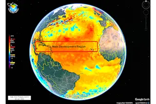
Source: NOAA/NWS/NDBC A buoy located 85 miles south of Sand Point, Alaska in the Aleutian Islands measured significant wave heights reaching 26 feet — that's taller than a ...


