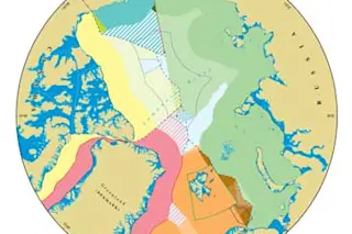
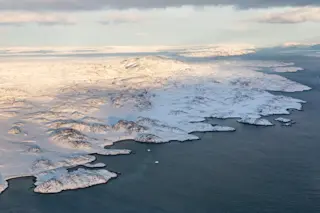
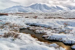
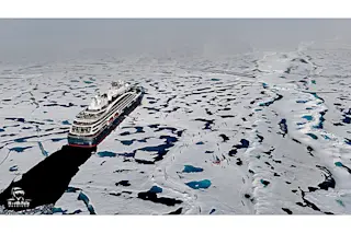
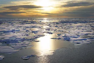
The ice lid on the Arctic Ocean continues to melt. At summer’s end, sea-ice coverage was one-third smaller than the average from 1979 to 2000. With the loss of ice, the seabed’s natural resources become potentially more obtainable and its bordering nations more interested. Martin Pratt, director of research at the International Boundaries Research Unit at Durham University in England, has already seen evidence of that interest. This year, he and his team produced an online map of the Arctic maritime jurisdictions and boundaries that in a mere three days had been downloaded more than 42,000 times.
The map has patches of color demarcating areas of the Arctic Ocean and seabed to which each of the five countries bordering the ocean—the United States, Canada, Russia, Denmark (Greenland), and Norway—might claim title. Bright, solid colors represent seafloor over which each country already has jurisdiction because it lies within its 200-nautical-mile offshore ...


