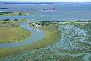
The last few miles of U.S. Route 80 run through a stretch of marshland off the coast of Savannah, Georgia where floods routinely frustrate drivers. The floods weren’t always so frequent or severe, but in the century since Route 80 was designated a federal highway, local sea levels have risen around 9 inches, according to measurements taken nearby, helping floodwaters reach further inland. Today, officials are elevating parts of the road to cope.
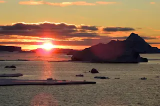
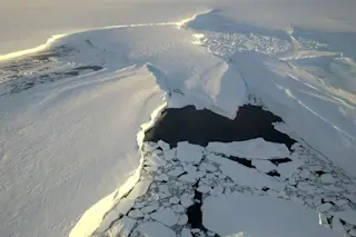
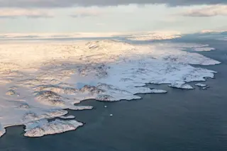
Up and down Georgia’s 110-mile coastline, locals are facing unprecedented floods thanks to climate change. Melting ice caps are adding more water to the oceans, while higher temperatures are causing the water to expand, raising sea levels. The effect is more pronounced in the Southeast, because, while the sea is rising, the land is also sinking.
During the last ice age, massive ice sheets covered much of the Midwest and Northeast. The weight of the ice caused ...


