With record-breaking temperatures across the South, smoke from Canadian wildfires across the North, historic flooding in the Northeast and a powerful hurricane in the Southeast, the summer of 2023 has presented a range of threats to the safety of the majority of Americans. The good news, through all of this: Geospatial intelligence has offered valuable insights to help governments and organizations protect communities.
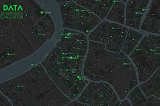
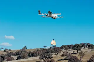
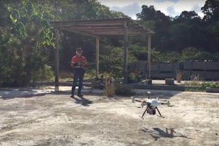
Geospatial intelligence is the collection and integration of data from a network of technologies, including satellites, mobile sensors, ground-control stations and aerial images. The data is used to produce real-time maps and simulations to help identify when, where and to what extent a threat is likely to emerge. Government officials, individuals or both can use this information to make informed decisions.
One long-standing contribution of geospatial intelligence is in emergency preparedness and response. For example, the National Hurricane Center actively monitors the location, formation and trajectory of ...


