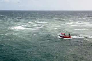
Humans are racing to harness the ocean’s vast potential to power global economic growth. Worldwide, ocean-based industries such as fishing, shipping and energy production generate at least US$1.5 trillion in economic activity each year and support 31 million jobs. This value has been increasing exponentially over the past 50 years and is expected to double by 2030.
Transparency in monitoring this “blue acceleration” is crucial to prevent environmental degradation, overexploitation of fisheries and marine resources, and lawless behavior such as illegal fishing and human trafficking. Open information also will make countries better able to manage vital ocean resources effectively. But the sheer size of the ocean has made tracking industrial activities at a broad scale impractical – until now.
A newly published study in the journal Nature combines satellite images, vessel GPS data and artificial intelligence to reveal human industrial activities across the ocean over a five-year period. Researchers at ...


