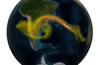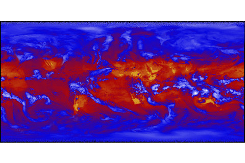
It may look all the world like a work of abstract expressionism. But in reality, it's a remote sensing image, created using data from a NASA satellite.
Can you figure out what this image shows, and why it is significant? As a bonus for true remote sensing geeks (like me), can you take a guess as to which satellite and sensor it comes from?
Leave your answers in the comments section. I'll come back by the end of the day to declare a winner, and fill in the details where necessary.


