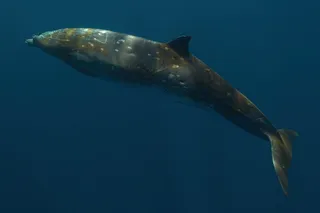
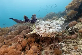
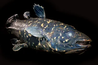
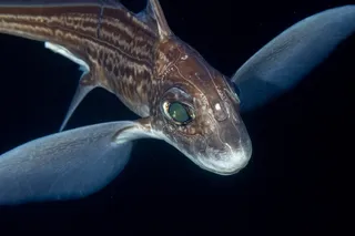
If for some reason you haven't been invited on a submersible ride-along, the next best thing is probably 340 miles' worth of raw video footage from the ocean floor. The U.S. Geological Survey just released a whole mess of data from its California Seafloor Mapping Program. Together with many partners, it's working on building maps of the California coast that include seafloor depth, habitat type, and other geological features. There's also video footage from cameras towed a few feet above the seafloor, as well as 87,000 still photos taken at regular intervals. At the project's website, visitors can explore an interactive map that's layered with whichever types of data interest them. I know somebody out there is into bathymetry, but I opted to explore the library of photos and videos. Below is a selection of things I spotted. The videos are kind of tedious but will reward the patient viewer ...
12 Things I Found Exploring the California Seafloor (and You Can Too)
Discover the California Seafloor Mapping Program's extensive ocean floor video footage and rich interactive maps of the California coast.
More on Discover
Stay Curious
SubscribeTo The Magazine
Save up to 40% off the cover price when you subscribe to Discover magazine.
Subscribe

