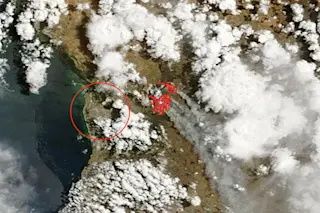
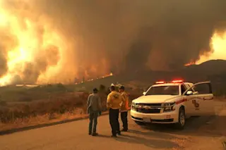
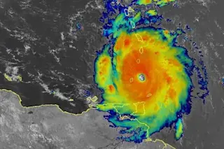
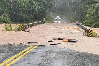
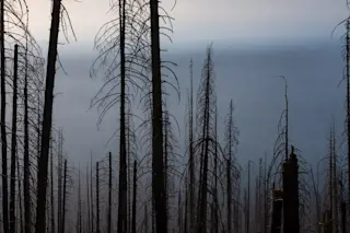
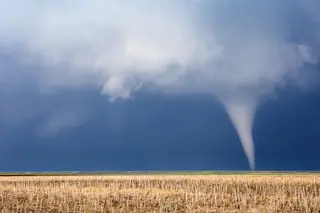
Plumes of smoke stream from a bushfire raging near Adelaide in South Australia, as seen by NASA’s Terra satellite on Saturday (1/3/15). The red dots indicate areas where the satellite sensor detected fire. The city of Adelaide is circled. (Source: NASA) A bushfire visible from space is raging just outside the city of Adelaide in South Australia. The blaze has burned 42 square miles so far, an area about twice the size of Manhattan. Five homes are confirmed destroyed, and dozens more have likely been lost. This is said to be the worst bushfire in the area since the Ash Wednesday inferno in 1983. More than 70 lives were lost in that catastrophe.
The #Adelaide#bushfire is still raging out of control tonight. Check this amazing photo of nature at its worst :( pic.twitter.com/1NQEBADNYO — シ Ed Gex (@EdDJGex) January 3, 2015
Temperatures have been soaring in southeast Australia over the ...


