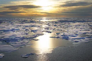
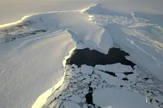
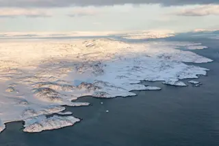
As winter's brutal grip on the Arctic has begun to loosen, the vast region's sea ice cover likely reached its maximum extent for the year on March 14.
That maximum spread of the ice was not as paltry as it has been in some recent years. But according to the latest analysis from the National Snow and Ice Data Center, it was still 247,000 square miles below the 1981 to 2010 average.
That's an area of 'missing' ice nearly as large as Texas.
For the record, NSIDC data show that the maximum extent of the ice was fourteenth lowest in the satellite record, which extends back to 1979. But that doesn't tell the entire tale, as this animation dramatizes:
Total Arctic sea ice volume averaged the third lowest on record for the month of February. (The units are thousands of cubic kilometers. Credit: Zachary Labe using data from PIOMAS v2.1)
...


