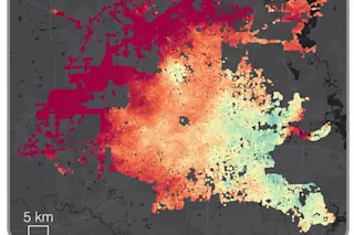
A comparison of views of Shanghai acquired by NASA's Terra satellite, one on March 26, 2000, and the other on March 10, 2018. (Images: NASA Worldview. Animation: Tom Yulsman) The longest continuous daily satellite observation record of Earth ever compiled is now available for all of us to peruse. All you need is access to a computer. Multiple instruments aboard NASA’s Terra and Aqua satellites, launched in 1999 and 2002, respectively, have kept close watch on the virtually the entire planet for nearly 20 years. Now, for the first time, the entire treasure trove of imagery and scientific information is available for exploration in Worldview, an engaging, interactive web-based application. I've been using Worldview regularly to find imagery for use here at ImaGeo since I launched the blog in 2013. But until now, there was a significant limitation: The data available went back only to 2012. Now, after more than ...
Nearly two decades of revealing satellite images now available at your fingertips
Explore satellite data access to view our planet's dramatic changes with NASA's Terra and Worldview applications.
More on Discover
Stay Curious
SubscribeTo The Magazine
Save up to 40% off the cover price when you subscribe to Discover magazine.
Subscribe


