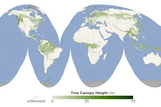
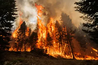
It's not just the sequoias—the towering firs, hemlocks, and other trees of the Pacific Northwest make its forests the tallest in the world, matched only by those in Southeast Asia. That's according to a study by NASA, which has completed the first survey of the heights of forests throughout the world. The map, created by NASA's ICESat, Terra, and Aqua satellites, does more than give bragging rights to West Coast residents. For one thing, it could help scientists who are trying to predict while wildfires might strike, as well as those who want to determine what kind of forests make the best carbon sinks.
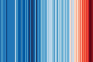
The map could also provide a means of monitoring the effects of climate change and deforestation on the world's forests. Deforestation and land change use is responsible for 20 percent of the world's emissions, and 48 percent of the world's deforestation occurs in Brazil, according to ...


