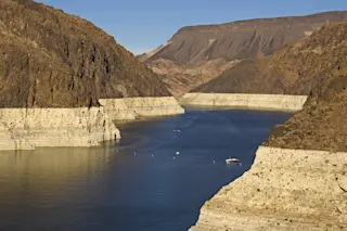
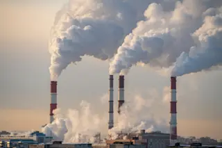
Giant smoke plumes from wildfires blazing in Utah and Arizona were easily visible to the GOES-16 weather satellite on June 27th, 2017. The Brian Head fire is to the north, in Utah. The Goodwin Fire near Prescott, Arizona is to the south. A much smaller plume can also be seen growing in Arizona. (Source: RAMMB/CIRA/NOAA) Thanks to hot, dry and windy conditions, new wildfires have exploded across the western United States in the last few days, forcing thousands of people to evacuate their homes and flee from encroaching flames. As of Thursday, June 29th, 29 large wildfires were blazing in ten states, 28 of them in the West, according to the National Interagency Fire Center. The flames have spread across 207,345 acres — an area larger than the City of New York. More than 8,400 firefighters and support personnel are involved in battling the blazes. (For the latest update from ...
As wildfires explode across the western U.S., satellites above spy the giant smoke plumes — and bloviating partisans below politicize what's happening
Western wildfires highlight a political blame game ignoring climate science, putting residents at risk in Utah and beyond.
More on Discover
Stay Curious
SubscribeTo The Magazine
Save up to 40% off the cover price when you subscribe to Discover magazine.
Subscribe


