

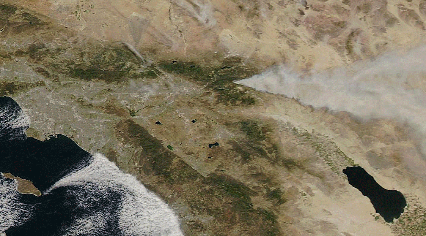
Animation of true- and false-color satellite images of the Lake Fire burning east of Los Angeles. (Source: NASA Worldview) A wildfire covering an area more than half the size of Manhattan Island is burning out of control in the San Bernardino National Forest east of Los Angeles. As I write this on Friday morning (June 19), it has scorched 11,000 acres and is only 10 percent contained, according to InciWeb, the federal incident information system. The cause of the blaze, called the Lake Fire, has yet to be determined. It threatens 150 structures; none are believed to be damaged so far. California's epic drought has raised fears that this fire season could be very serious. The Lake Fire is the biggest wildfire in California so far this year. I created the animation above using images of the blaze and surrounding area acquired by NASA's Aqua satellite on Thursday, June 18, ...
Animations of Satellite Images Show the Massive Lake Fire Burning Out of Control Near Los Angeles
The Lake Fire burning east of Los Angeles scorches 11,000 acres, with only 10% containment—a serious California wildfire 2023.
More on Discover


Stay Curious
SubscribeTo The Magazine
Save up to 40% off the cover price when you subscribe to Discover magazine.
Subscribe