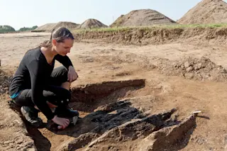
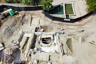
For centuries, a ripple of land in a farmer’s field about 35 miles southwest of Copenhagen, Denmark, attracted little attention.
“We knew there was something out there, but we thought it was Iron Age, 800 years before the Vikings, so nobody was interested in it,” says Nanna Holm, curator of the Danish Castle Center.
But Holm became curious about the site in rural Vallø when she came across new, more precise topography maps, which the Danish government created in 2009 and issued in 2012. She noticed that the new maps, created to identify areas at increased risk for flooding due to climate change, put subtle landscape variations into sharper focus.
A 2009 map, made by using lasers to measure subtle differences in elevation, reveals the circular shape of the fort (circled in red). | Danish Castle Center/Aarhus University
What she saw — confirmed during a partial excavation last summer — ...


